When GPS stops at the sea surface, USBL is how operators keep eyes on subsea assets in real time.
Ultra-Short Baseline (USBL) positioning is a widely used method for tracking underwater assets when satellite-based navigation is unavailable. This article provides a clear, high-level introduction to what USBL is, how it works, and where it fits within underwater positioning systems, without diving into mathematical detail.
Key Takeaways About USBL Systems
- USBL stands for Ultra-Short Baseline, referring to closely spaced acoustic sensors
- USBL is an acoustic positioning system used when GPS is unavailable underwater
- It tracks subsea vehicles, tools, and transponders from a surface reference
- USBL matters because it enables flexible, real-time underwater positioning without seabed infrastructure
Related reading: Advantages of USBL · Limitations of USBL · USBL for ROV and AUV operations
What Does USBL Stand For?
USBL stands for Ultra-Short Baseline.
In underwater acoustic positioning, the term baseline refers to the distance between individual acoustic sensors (hydrophones) used to detect signals. In a USBL system, this baseline is extremely short, i.e., typically just centimeters, because all sensors are clustered into a single compact transceiver.
Baseline length matters because it directly influences how position is calculated. Longer baselines rely on measuring distance differences between widely spaced sensors, while ultra-short baselines determine direction primarily through phase and timing differences across closely spaced elements. This design enables USBL systems to be compact, vessel-mounted, and relatively easy to deploy.
What is a USBL System?
A USBL system is an underwater acoustic positioning system that determines the position of a subsea object by measuring its range and direction from a known reference point, usually a surface vessel.
USBL systems are commonly used to track:
- Remotely Operated Vehicles (ROVs)
- Autonomous Underwater Vehicles (AUVs)
- Subsea tools and payloads
- Fixed or mobile acoustic transponders
The system provides real-time positional data relative to the surface platform, which can then be converted into geographic coordinates.
How USBL Positioning Works (High-Level Overview)
Acoustic Signal Transmission and Reception
The USBL transceiver sends an acoustic interrogation signal, often referred to as a “ping.” A subsea transponder or beacon receives this signal and replies with its own acoustic response.
The system measures how long it takes for the signal to travel to the transponder and back. This timing information is fundamental to determining distance.
Range and Bearing Calculation
Range is estimated from the signal’s time-of-flight through water. Bearing is calculated by analyzing how the returning signal arrives across the closely spaced hydrophones in the transceiver.
By combining range and bearing, the system determines the relative position of the underwater asset. When integrated with vessel position and orientation data, this relative position can be converted into an absolute location.
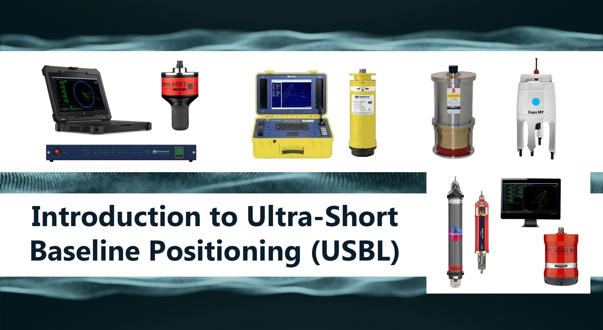
What are the main components of a USBL System
The main components of a USBL System are as follows:
Transceiver (Topside or Hull-Mounted)
The transceiver is the acoustic head that transmits and receives signals. It is typically mounted on the vessel hull or deployed over the side. This component defines the acoustic reference point for the entire system.
Transponder or Beacon
The transponder or beacon is attached to, or integrated with, the underwater asset being tracked. Its role is to respond to interrogation signals so that its position can be calculated.
Motion, Heading, and Position Sensors
USBL accuracy depends heavily on vessel sensor inputs, including GPS, heading, and motion reference units. These sensors account for vessel movement, orientation, and surface position, allowing the system to correct acoustic measurements accordingly.
Where USBL Fits Among Underwater Positioning Systems
USBL is one of several acoustic positioning approaches used underwater. Compared to Short Baseline (SBL) and Long Baseline (LBL) systems, USBL prioritizes ease of deployment and operational flexibility.
LBL and SBL systems rely on wider sensor spacing and, in many cases, pre-installed seabed transponders. USBL, by contrast, concentrates sensing into a single unit, making it suitable for temporary or mobile operations. A detailed comparison is typically covered in dedicated system comparison articles.
In practice, these systems are deployed as integrated subsea positioning solutions, such as Ultra-Short Baseline positioning systems (USBLs) used in offshore survey and subsea operations.
Typical Applications of USBL Systems
Common USBL applications include:
- ROV and AUV tracking during inspection, intervention, and survey tasks
- Offshore construction and subsea survey, where real-time asset positioning is required
- Scientific and defense operations, including research deployments and tracking of subsea instruments
- USBL is often integrated with vehicle navigation systems to provide continuous positional awareness during operations.
For a deeper look at how Ultra-Short Baseline positioning supports subsea vehicles in practice, see USBL applications in ROV and AUV operations.
Many offshore and subsea projects combine multiple positioning and navigation technologies depending on operational requirements.


")


