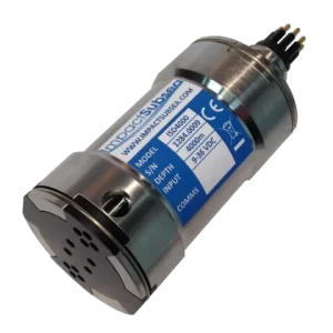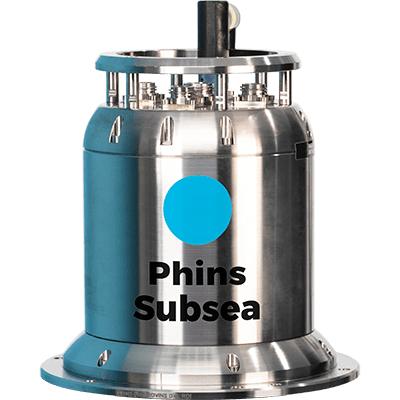
Exail (iXblue) Phins 6000: Inertial Navigation System
Phins is a subsea inertial navigation system providing position, true heading, attitude, speed, depth and heave. Its high-accuracy inertial measurement unit is coupled with an embedded digital signal processor that runs an advanced Kalman filter.

Phins is a subsea inertial navigation system providing position, true heading, attitude, speed, depth and heave. Its high-accuracy inertial measurement unit is coupled with an embedded digital signal processor that runs an advanced Kalman filter.
Features
High grade INS performance
High reliability and maintenance free
Rugged design for water depths up to 6,000 m
Ultimate sub-metric performance using sparse array transponders and on-the-fly calibration
Ease of use and quick installation
Specifications
Operating/storage temperature: -20°C to 55°C / -40°C to 80°C
Rotation rate dynamic range: Up to 750 deg/s
Acceleration dynamic range: ± 30 g
Heading/roll / pitch: 0 to +360 deg / ±180 deg / ±90 deg
Depth: 6,000 m
Applications
AUV navigation
Towfish navigation
Metrology
Precise positioning
Out-of-straightness survey