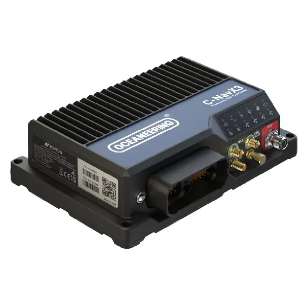
Oceaneering C-NavX3 GNSS Receiver
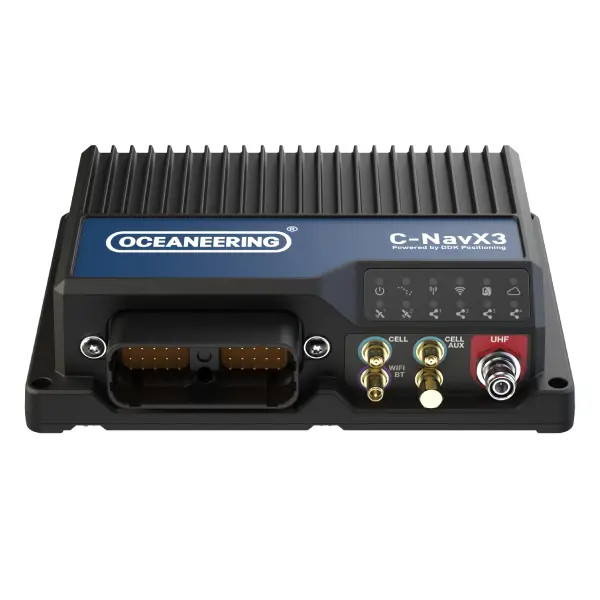
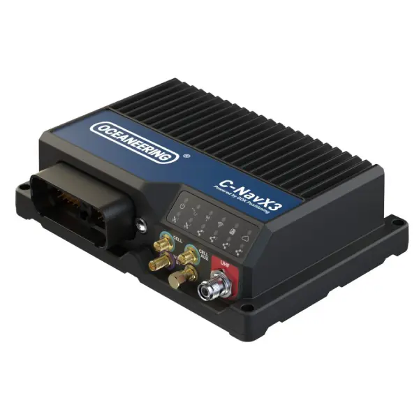
The Oceaneering C-NavX3 GNSS Receiver is a multi-frequency, multi-constellation positioning and heading system designed for precise navigation and positioning in offshore, marine and hydrographic survey operations. It supports GPS, GLONASS, Galileo and BeiDou.
• High-precision positioning with horizontal accuracy better than 5 cm using C-Nav LEO PPP corrections.
• Dual-antenna heading providing sub-degree heading and pitch or roll measurements for accurate vessel orientation.
• Versatile connectivity with integrated UHF radio, cellular LTE, Wi-Fi and Bluetooth for flexible data communication and system integration.
Speak with our survey specialists to discuss your project requirements.
Features
Multi-frequency, multi-constellation GNSS positioning
Dual-antenna GNSS heading and inclination measurement
Centimetre-level positioning with C-Nav LEO PPP corrections
Integrated UHF, LTE, Wi-Fi and Bluetooth connectivity
Dual GNSS engines with 226 tracking channels each
Compatible with C-Monitor, C-Scape and C-NaviGator IV software
Automatic 72-hour rolling data logging for incident support
Rugged IP67 enclosure with IEC 60945 marine certification
Specifications
| Availability |
|---|
GNSS Constellations: GPS, GLONASS, Galileo, BeiDou, QZSS and SBAS
GNSS Engine: Dual Topcon B125
Tracking Channels: 2 × 226
Position Accuracy (C-Nav LEO PPP): Less than 5 cm horizontal / 10 cm vertical (95%)
Heading Accuracy (RMS): 0.2° / D (D = antenna baseline in metres)
Inclination Accuracy (RMS): 0.3° / D
Connectivity: UHF, LTE, Wi-Fi, Bluetooth and Ethernet
Power Supply: 9–32 VDC
Power Consumption: 12 W
Ingress Protection: IP67
Dimensions (L × W × H): 203 × 151 × 56 mm
Weight: 1.2 kg
Refer to datasheet for detailed technical specifications
Applications
Offshore positioning and navigation
Hydrographic and marine survey operations
Vessel heading and orientation measurement
Offshore construction and installation projects
Marine geophysical survey operations
High-precision GNSS positioning and data acquisition
Vessel and survey system integration