Explore the Depths with Confidence with Geophysical Sensors from Unique Group
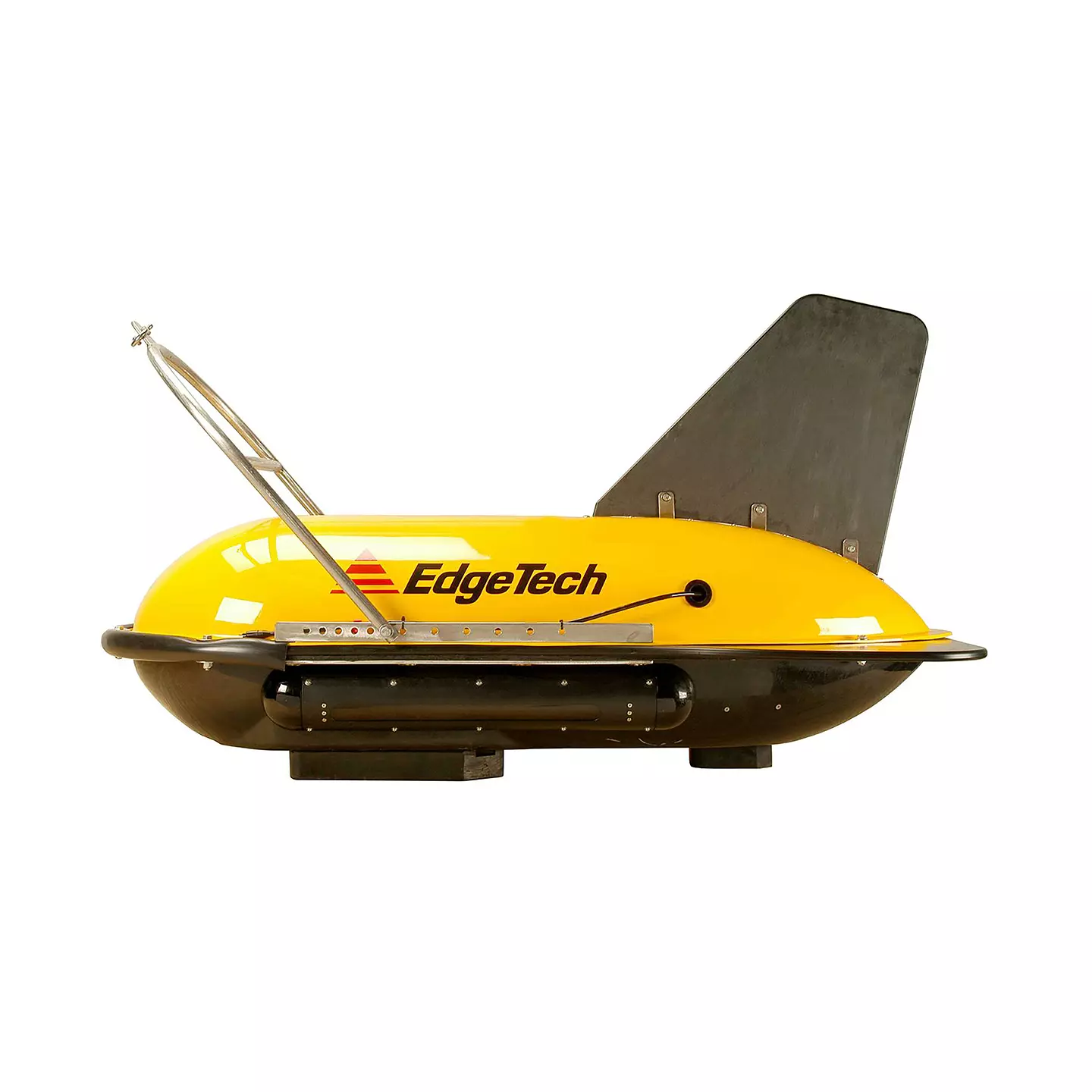
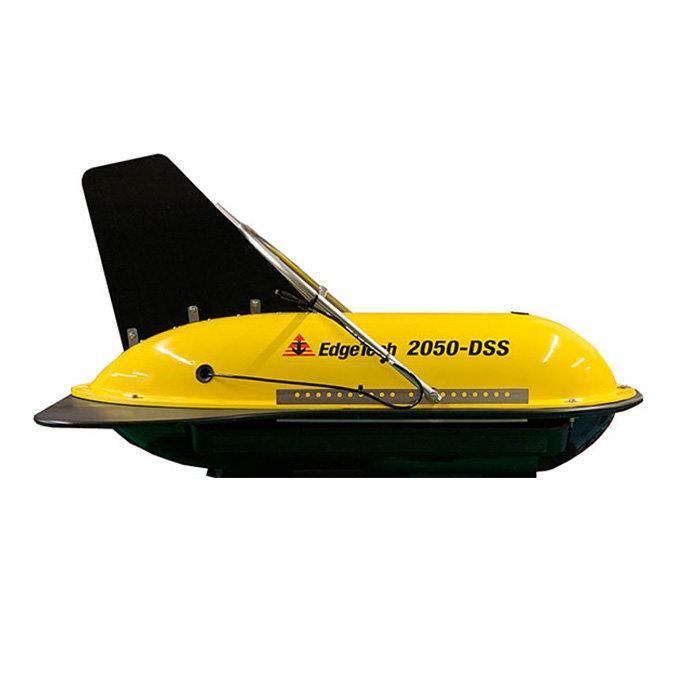
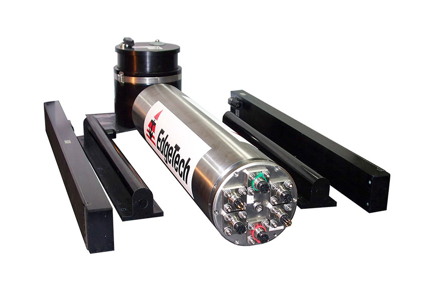
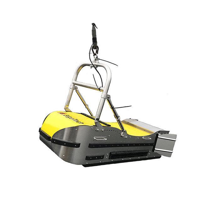
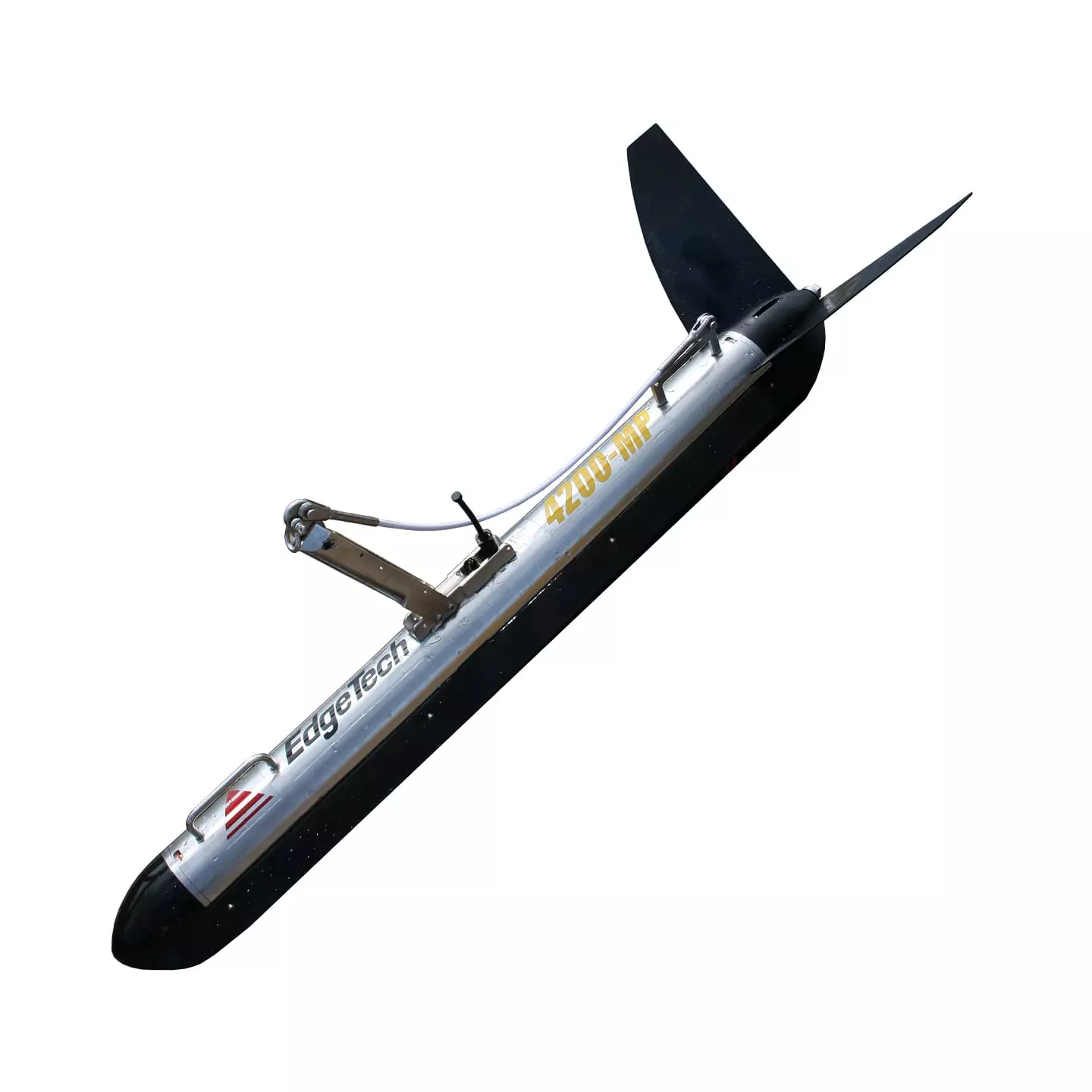
At Unique Group, we offer a wide range of geophysical sensors with cutting-edge equipment for surveying the ocean floor. These sensors utilise the advanced technology to provide detailed images of the seafloor and sub-bottom layers, making them ideal for applications such as offshore construction, pipeline inspection, environmental studies, and more. Among the products in this category are the EdgeTech 2000DSS, EdgeTech 4205, EdgeTech 4205 Tri-Frequency Towfish, EdgeTech 2300, and EdgeTech 4200 MP Dual Frequency Towfish, each with its own unique capabilities.
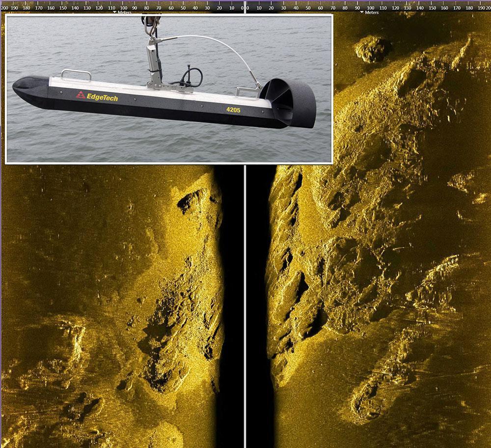
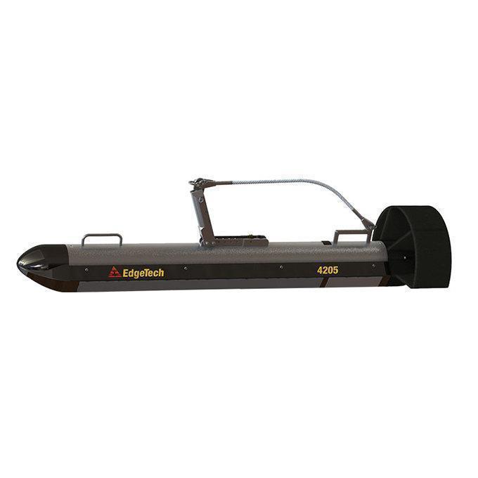
Whether you are surveying the seafloor for pipeline construction, or studying the marine environment for scientific purposes, the Geophysical Sensors category at Unique Group has the equipment you need to get the job done with accuracy and precision. The EdgeTech 2000 DSS, for example, is a combined side-scan sonar and sub-bottom profiler that provides high-resolution imagery of the seafloor and sub-bottom layers. The EdgeTech 4205 Multi-Pulse/Motion Tolerant (MP/MT) Side Scan Sonar, on the other hand, is designed to provide superior image quality even in challenging conditions. And the EdgeTech 4205 Tri-Frequency Towfish is ideal for deep-water surveys, with its ability to provide detailed imagery at multiple frequencies.
In case you are wondering what makes us best for geophysical sensors, here are our highlighting features:
- Advanced Technology: The Geophysical Sensors category at Unique Group features equipment with advanced technology that provides detailed images of the seafloor and sub-bottom layers, allowing for accurate and precise surveying.
- Multiple Applications: These sensors are ideal for a range of applications, including offshore construction, pipeline inspection, environmental studies, and more.
- State-of-the-art Products: The EdgeTech 2000 DSS, EdgeTech 4205, EdgeTech 4205 Tri-Frequency Towfish, EdgeTech 2300, and EdgeTech 4200 MP Dual Frequency Towfish are just some of the cutting-edge products available in this category, each avant-garde features.
Whether you are looking for cutting-edge technology, versatility, or ease of use, the Geophysical Sensors at Unique Group is your one-stop solution for exploring the subsea depths with ROVS. Want more information? Visit our website or contact us now!