-
A.G.O. CMW-2: 3 Phase Electric Winch (3.75kW)
Survey Equipment -
A.G.O. CSW -7VK: Lightweight Electric Winch (2.25kW)
Survey Equipment -
AAE 1019: Mini Beacon
Survey Equipment -
AAE 1100 Series: Mini Beacon
Survey Equipment -
AAE 3510 PAM: Portable Beacon Tester
Survey Equipment -
AngelEye LifeGuard: Drowning Detection System
Survey Equipment -
Applied Acoustic AA251 & AA301: Boomer Seismic Sound Source
Survey Equipment -
Applied Acoustic CSP-D: Seismic Energy Source
Survey Equipment -
Applied Acoustic CSP-Nv: Seismic Energy Source
Survey Equipment
Showing 1–12 of 433 results
Survey Equipment – High-Precision Tools for Marine Data Acquisition
Unique Group offers a wide range of survey equipment engineered for accurate data collection across offshore, coastal, and deep-sea environments. Our solutions support professionals in hydrographic, geophysical, oceanographic, and environmental sectors with reliable and high-performance instrumentation.
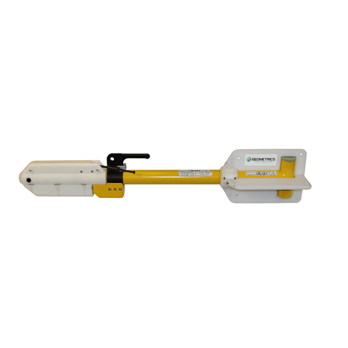
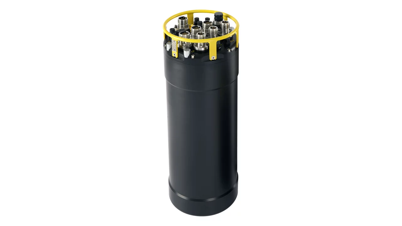
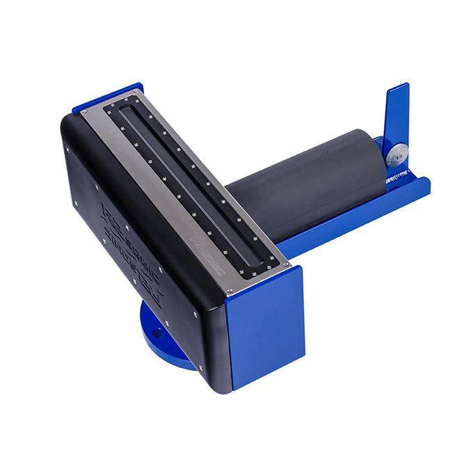
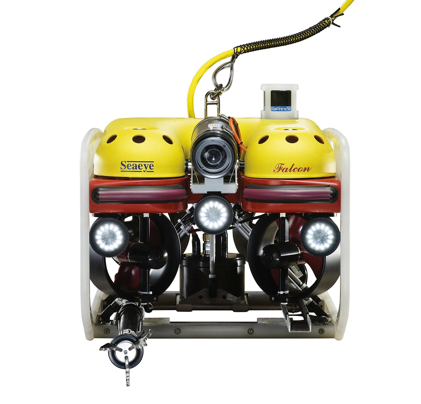
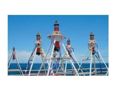
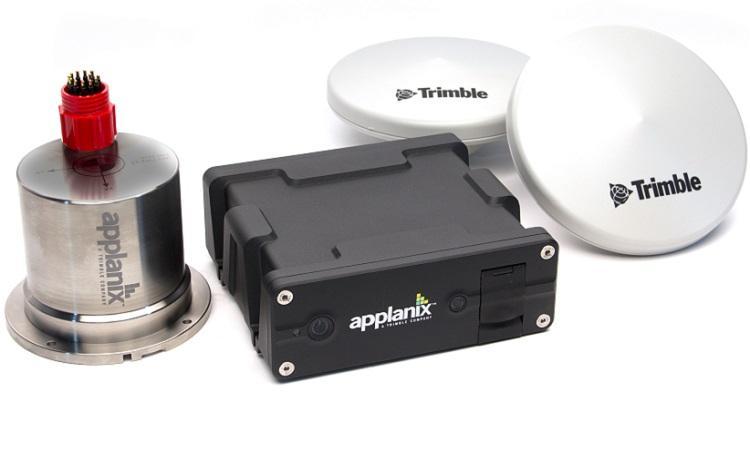
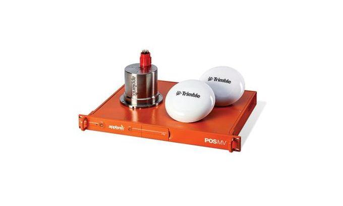
Our product portfolio includes industry-leading equipment such as the Innomar Medium 100 parametric sub-bottom profiler, Applanix POS MV Oceanmaster inertial navigation systems, Geometrics G882 magnetometers, Uni-Pact and Uni-Mini USVs, Trimble GNSS correction systems, and our proprietary Uni-Mesh telemetry network—providing a complete suite of solutions for modern marine survey operations.
All systems are sourced from globally trusted brands or developed in-house, rigorously tested for performance and reliability. Whether your project involves subsea positioning, shallow water mapping, or deep-sea structural inspection, our team is here to help you select the right equipment for your mission.
Key Features and Benefits:
-
Comprehensive Product Range: Covering geophysical, hydrographic, oceanographic, environmental, and subsea survey needs.
-
Precision and Accuracy: Built for consistent, high-resolution data acquisition in diverse marine conditions.
-
Expert Support: Our engineers and survey specialists provide technical guidance and after-sales support tailored to your project requirements.
-
Rental and Purchase Options: Flexible commercial terms to support both long-term operations and short-term offshore campaigns.
Need help choosing the right survey equipment? Contact our team or submit a product enquiry—we’ll guide you to the most effective solution for your operational goals.
Frequently Asked Questions
What are the equipment used in surveys?
Subsea survey equipment includes multibeam echosounders, side-scan sonars, sub-bottom profilers, and remotely operated vehicles (ROVs). These tools are essential for mapping the seabed, identifying underwater hazards, and gathering detailed geological data. Advanced technologies like Autonomous Underwater Vehicles (AUVs) and satellite-derived bathymetry are also increasingly used for extensive and remote subsea surveys.
What are the equipment used in geophysical surveys?
In geophysical surveys for subsea applications, the primary equipment used includes multibeam echosounders, side-scan sonars, sub-bottom profilers, and magnetometers. These tools help in mapping the seabed, identifying subsurface layers, and detecting anomalies or objects buried under the seabed. Advanced technologies like Autonomous Underwater Vehicles (AUVs) and Remotely Operated Vehicles (ROVs) are often employed to deploy these sensors in deep-water environments.
What equipment is used in bathymetric surveys?
In bathymetric surveys, equipment such as multibeam echo sounders, single-beam echo sounders, and side-scan sonars are commonly used. Multibeam echo sounders provide detailed and accurate measurements of the seafloor by emitting sound waves in a fan shape beneath a ship’s hull. Single-beam echo sounders, although less detailed, are used for simpler depth measurement tasks. Side-scan sonars are instrumental in creating high-resolution images of the seafloor, which is crucial for identifying underwater features and potential hazards.
What instrument is used in a hydrographic survey?
In hydrographic surveys, a primary instrument used is the multibeam echosounder, which provides detailed and accurate bathymetric data of the sea floor. This equipment emits sound waves in a fan shape beneath a ship’s hull to measure the return time of the echoes, which is then used to create detailed maps of underwater topography. Additional tools like side-scan sonars, sub-bottom profilers, and GPS positioning systems are also commonly utilized to enhance the accuracy and detail of the survey data.